56th St
Carnegie St to Celadine St, Stanton Heights, Upper Lawrenceville
USGS lidar ground profile, 1,293 ft long, uphill to the right. Height exaggerated 1.3×. Dashed: the street between flights.
402
Steps
217 ft
Climb
278 ft
Ground climb, with landings
1,054 ft
Length
776–1,050
Elevation, ft
1946
Built
Concrete
Material
Climb it 134 times to reach the height of Everest.
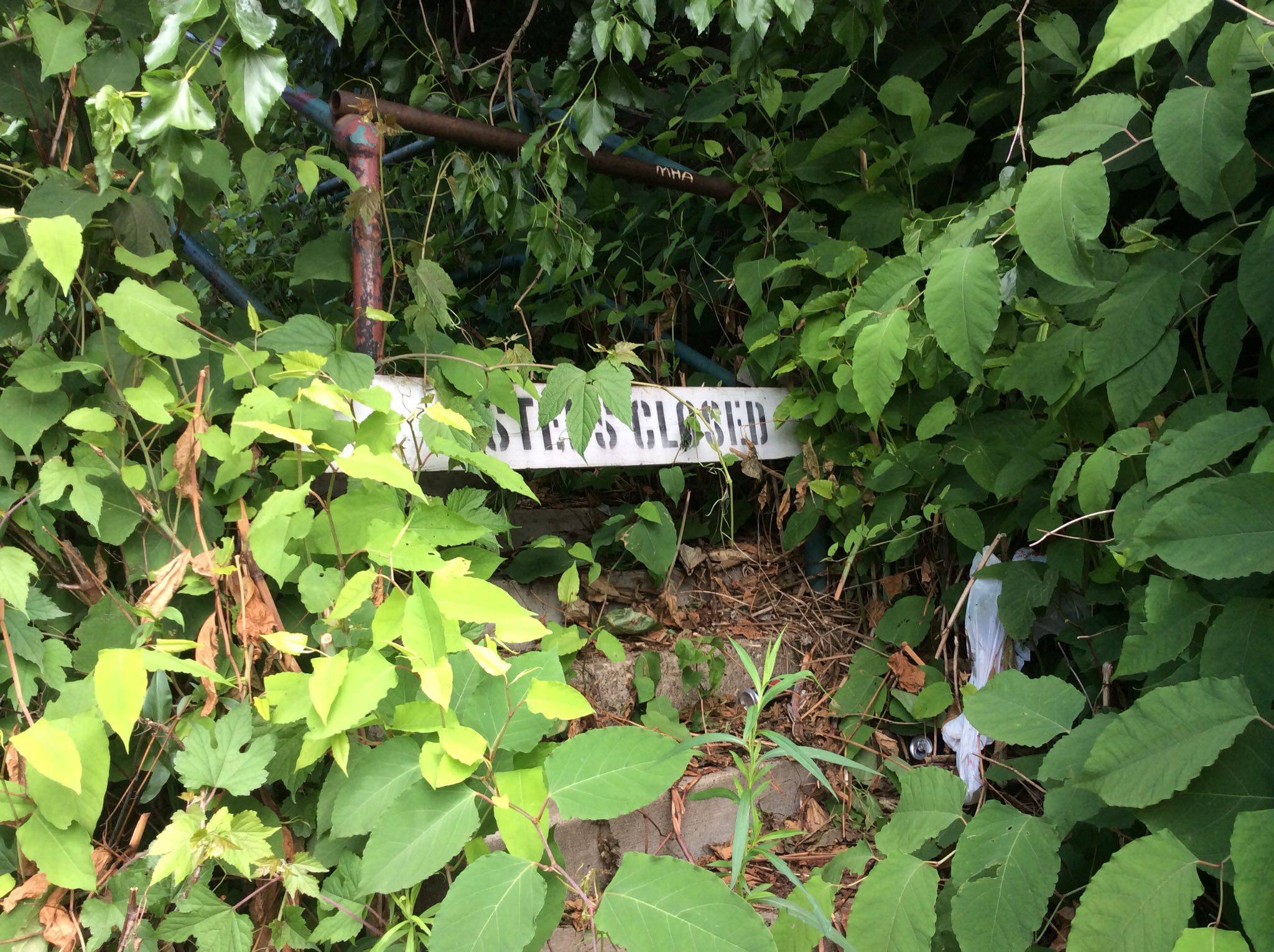
Flights, bottom to top
- Carnegie St to Duncan St, 249 steps
- Duncan to Wickliff St, 26 steps
- Celadine St to Wickliff St, 119 steps
- Alford Way to Celadine St, 8 steps
See something broken or blocked? “Report a problem” tells us, so we can mark it on the map for everyone, and helps you send the same report to Pittsburgh 311, who make repairs.